


Enjoy your next hike at the Fanshawe Conservation Area. Located in the Northeast end of London, this spot is accessible from the main entrance at 1424 Clarke Road.
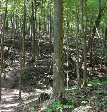
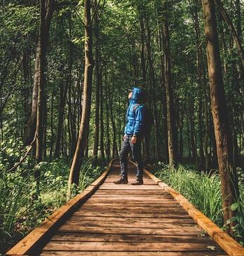
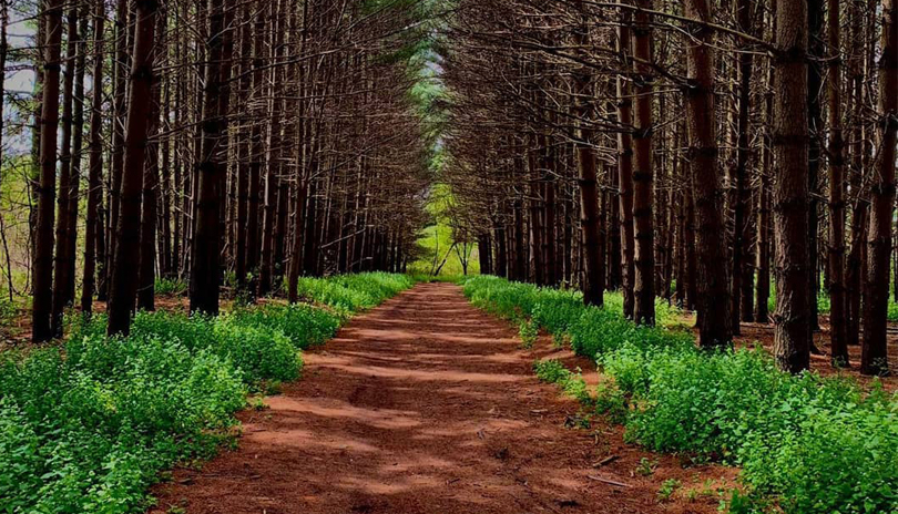
This conservation area offers three hiking trails, the Tamarack, Meadow and Pond Trail. Combined, you can revel in 4.5 km of beautiful pathway. As well, take a walk down the 21 km Fanshawe Lake trail that is open to both hikers and cyclists.
No matter what trail you choose, they all offer spectacular views, aged trees and open meadows! Take pictures and leave only footprints. Please note, there is an admission fee.
Opportunities for Education
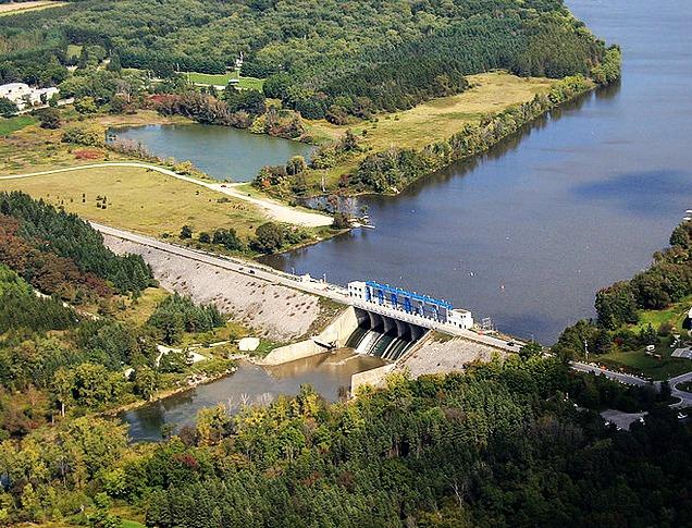
Did you know that this is the home of the Fanshawe Dam? “The primary purpose of Fanshawe Dam and Reservoir is to assist in flood control efforts to reduce flood damage in the City of London. For most of the year, the amount of water released from the reservoir is the same as the amount of water entering from upstream. During a flood event, less water is released than comes into the reservoir, which results in the reservoir gradually filling up as the extra water is stored. After the flood, the stored water is gradually released. Some flooding may still occur but the flood peaks downstream may be reduced by 5 to 50 per percent, depending on the nature of the event (volume of water and duration),” (Upper Thames River Conservation Authority).
Some fun facts to think about as you explore the dam area (UTRCA):
- Historically, most of the major floods on the Thames River system occur during the spring snowmelt, but the most severe floods ever recorded (1883, 1937) occurred in the late spring or fall and were caused by extremely heavy or prolonged rainfall.
- The dam has reduced damages from significant floods at least a dozen times in the past 50 years.
- The hydroelectric plant at the base of Fanshawe Dam generates enough power to run 300 households.
TEACHING OPPORTUNITY
Enjoy spectacular views of the water as you walk the Fanshawe Lake Trail. The Fanshawe Lake is a man made lake that is fed by the Thames River.
This lake houses many species of fish and underwater plants. Can you identify any of the types of fish? The Fanshawe Conservation Area fishing guide will show you how many different fish you can see!
Keep an eye out for Walleye, as this is a popular habitat for them. Walleye are yellow to brown in colour, have large opaque eyes, have a white tip on the lower lobe of their tail and are typically 25-85 cm in length. Can you spot one?
BROCHURES & ACTIVITY
View a digital copy of the trail map here: Fanshawe Conservation Area Trail Map
BINGO! Check out ReForest London's BINGO sheet that can be used for any of London's walks or hikes. Print it at home and use it in your neighbourhood (or wherever it's safe to wander outside)! DOWNLOAD HERE.