


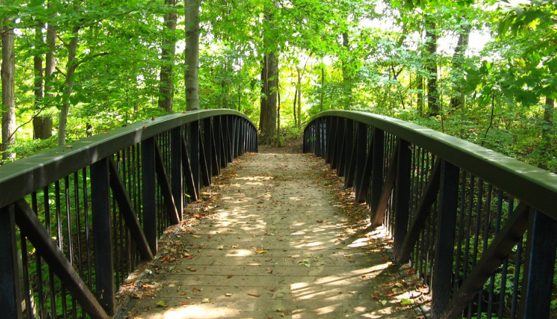
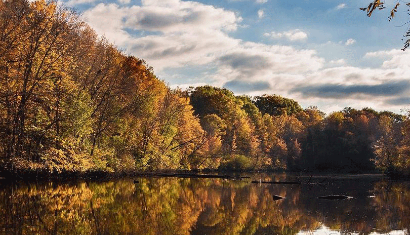
Enjoy nature at your own pace! London, Ontario, has a number of different natural spaces where you can stretch your legs, find peace and go forest bathing.
Have you heard of Shinrin-Yoku? This Japanese practice known as forest bathing means spending time mindfully engaging with nature. Take a deep, calming breath and explore London's Environmentally Significant Areas (ESAs)!
What is an ESA?
Environmentally Significant Areas (ESAs) are natural spaces that require special protection to preserve their environmentally significant attributes. These areas occur within agricultural and urban settings, featuring wetlands, forests, meadows, river corridors and wildlife habitats. They support a vast range of plant and animal life, providing a first-hand opportunity to witness ecological gems, appreciate nature and experience the serenity of the wilderness.
London is lucky enough to be home to several Environmentally Significant Areas! We have listed them here for you to explore. Please note that not all locations are bike friendly. See the brochures listed under each location to confirm where bicycles are permitted.
KAins Woods
Off the beaten path, Kains Woods skirts “the thumb” of Byron and is an integral part of the Thames River corridor, supporting birds and wildlife. The 5.8 km trail sustains many microhabitats thanks to its varied topography. Although this trek can be challenging, the trails are marked well with yellow and white blazes. As you hike, it's possible to spot pileated woodpeckers, scarlet tanagers and bald eagles.
Read the Kains Woods brochure here.
Kilally Meadows
Kilally Meadows spans a number of habitats, including woods, meadows and swamps along its 10.3 km loop trail. Popular with birders, hikers and naturalists, this network of paths often follows the Thames River or Meander Creek. Springtime summons a variety of woodland wildflowers including dame’s rocket, marsh marigold, yellow violet and white trout lily. Fishing is permitted with a provincial fishing licence.
Read the Kilally Meadows brochure here.
Meadowlily Woods
Meadowlily Woods and its nature preserve are perfect for recreational activities such as walking, hiking and birding. If you have never explored the 5.6 km trails, it's time to visit this ecological gem. A natural corridor for animals to access the river, the area features 18 mammal species and provides a range of attractive habitats for amphibians, butterflies and other insects. Fishing is permitted with a provincial fishing licence.
Read the Meadowlily Woods brochure here.
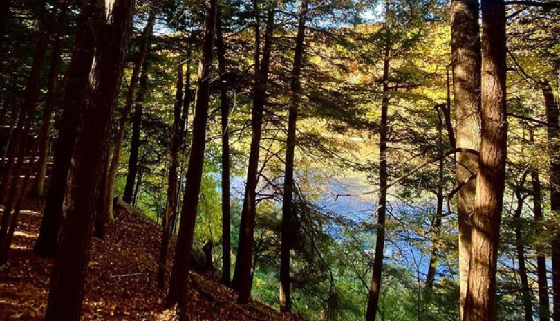
Medway Valley Heritage Forest
.gif)
Medway Valley Heritage Forest’s terrain rolls with steep climbs and includes floodplain forests, swamps, marshes and wooded valley slopes. Its 12.2 km of trails follow both sides of Medway Creek as it winds through the area. Dusk or dawn is the perfect time to spot white-tailed deer feeding on the tender shoots and tips of shrubs and trees. You may see grosbeaks, hummingbirds, waxwings and indigo buntings while on your hike. Main access points can be found at the Elsie Perrin Williams Estate and the Museum of Ontario Archaeology. Fishing is permitted with a provincial fishing licence.
Read the Medway Valley Heritage Forest brochure here.
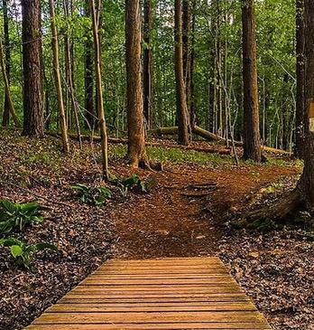
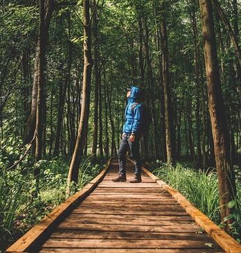
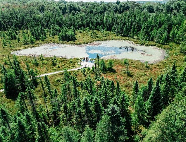
Sifton Bog
A floating acid peat bog and associated plant life are the centrepiece of the 42-hectare Sifton Bog. Boreal swamp and Carolinian forest encircle the bog, providing beautiful contrast and diversity of vegetation. If you’re lucky, you’ll spot a Midland painted turtle with its distinctive red or orange shell markings. A 370-metre-long boardwalk leads from the parking lot at Oxford Street to a viewing platform in the centre of the bog and connects to a variety of trails, totalling 2.8 km. Fishing is permitted with a provincial fishing licence.
Read the Sifton Bog brochure here.
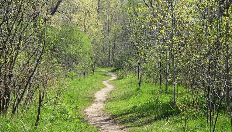
Warbler Woods
.jpg)
Rolling hills and steep ravines create scenic areas for hiking, bird watching and an ideal backdrop for nature appreciation in Warbler Woods. The area is named after the uncommon Golden-Winged Warbler, a small gray songbird with white undersides and distinctive yellow wing patches and forehead. Discover 5.4 km of trails in the area, with the main 1.8 km trail extending the length of the site with many points of access.
Read the Warbler Woods brochure here.
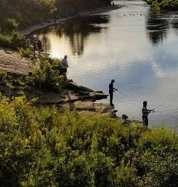
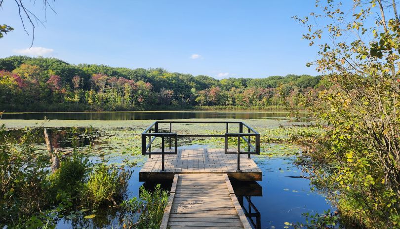
Westminster Ponds/Pond Mills
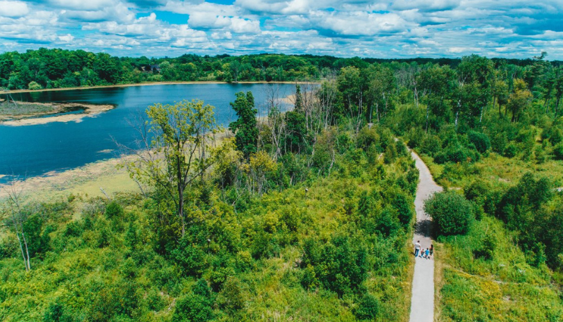
Westminster Ponds/Pond Mills comprises five large kettle ponds and a beaver pond surrounded by lowland and upland habitats. Approximately 60% of all plant species indigenous to Middlesex County can be found here. Explore 11 km of trails with gently rolling hills and the occasional steep slope. Boardwalks span some lowland areas. The ponds and the diversity of habitats make this an optimal place to view over 200 recorded species of birds, including herons and ducks. The Tourism London Welcome Centre is just steps away, so come say hi! Fishing is permitted with a provincial fishing licence.
Read the Westminster Ponds/Pond Mills brochure here.
The Coves
The Coves are an interesting series of three oxbow ponds that were formed when a wide meander of the Thames River was cut off. The area has almost 5 km of trails on gently sloping terrain. The watershed is an area of high species diversity and contains two provincially rare forest types: a black walnut forest and a hackberry forest. The Coves are just a 5-minute drive or 10-minute bike southwest of Downtown London.
Read The Coves' brochure here.
Lower Dingman
.jpg)
Lower Dingman covers 20 hectares of publicly-owned land in southwest London. Most of the trail is flat and sections offer picturesque views of Dingman Creek, which supports a variety of warm-water fish species, including bass and sunfish. Its 1.6 km of managed trails are identified by yellow trail markers on trees or posts. While still within City limits, this ESA is situated in a rural setting, unlike most of London’s publicly-owned ESAs. The access point is located at 3370 Homewood Lane, reached via Deadman’s Road east of Westdel Bourne.
Read the Lower Dingman brochure here.
Fanshawe Conservation Area

Fanshawe Conservation Area is another great spot for a hike. This 3,000-acre ‘outdoor playground’ has over 21 km of biking/hiking trails for you to enjoy. Check out Fanshawe Conservation Area's maps & brochures here to start organizing your next outdoor adventure!
Longwoods Road Conservation Area

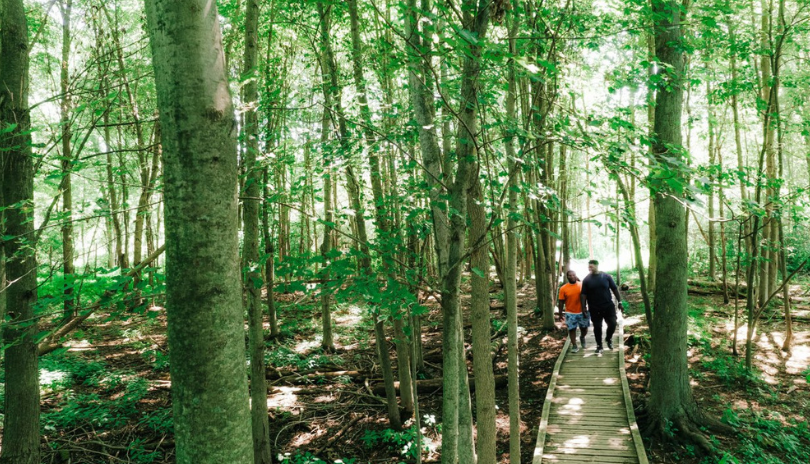
Just 30 minutes west of London, Longwoods Road Conservation Area boasts 155 acres of Carolinian forests, wetland boardwalks, bridges and almost 8 km of hiking trails, many accessible. Pavilion and picnic areas are also available. While you visit, stop in at Ska-Nah-Doht Village and Museum to learn about local Indigenous history or take in special events!
For more information on London’s Environmentally Significant Areas, contact the Upper Thames River Conservation Authority at www.thamesriver.on.ca or 519-451-2800 ext. 281.
As you appreciate London's unique natural areas, remember to take only pictures and leave only footprints! And when you share those photos, be sure to tag @TourismLondon and #ExploreLdnOnt for the chance to be featured.